Description
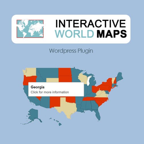
Introducing Interactive World Maps, a versatile and feature-rich plugin designed to enhance your website with customizable and interactive maps. This powerful addon allows you to create dynamic maps for various purposes, such as displaying geographical data, visualizing travel plans, or presenting business locations. Here is a comprehensive list of features this plugin has to offer:
- Easy Integration with Any WordPress Theme
- Comprehensive Map Library
- World, Continent, Country, and Region Maps
- Fully Customizable Map Styles
- Interactive Map Elements
- Customizable Map Markers
- Mobile Responsive Design
- Clickable Regions and Locations
- Tooltips and Pop-up Information Boxes
- Zoom and Pan Controls
- Customizable Map Legend
- Display Map Data with Charts and Tables
- Integration with Popular Page Builders
- Shortcodes for Easy Map Placement
- Performance Optimization
- Multilingual Compatibility
- RTL Language Support
- Developer Friendly API
- CSS and JavaScript Customization
- Import and Export Map Data
- Advanced Map Filtering Options
- Integration with Third-Party Plugins
- Customizable Color Schemes and Styles
- Extensive Documentation
- Retina Support
- Accessibility Features
- Regular Plugin Updates
- Dedicated Customer Support
- GeoJSON and TopoJSON Support
- Custom Map Projection Options
- Integration with External Data Sources
- Map Layering and Overlapping
- User Role Management
- Privacy Settings and Controls
- Map Data Caching for Faster Load Times
- Support for Custom Map Designs
- Vector and Raster Map Formats
- High-Resolution Map Export Options